Victoria’s Bushfire Risk Management Report for 2022-2023, released on 20 December last year, has detailed the efforts that went into bushfire management for the year and where fuel loads are at this summer.
The Yarra Ranges, Cardinia, Knox and Maroondah regions all sit within the Port Phillip region, along with most of metropolitan Melbourne.
A long-term residual fire risk target of at or below 85 per cent of maximum levels has been set for Port Phillip, up from the 80 per cent target set in 2015 until the boundary was redrawn in 2019. Residual fire risk is the amount of bushfire risk that remains after bushfires and fire management activities, such as planned burns, have taken place. 100 per cent would represent the maximum risk, where the build-up of fuel loads wasn’t reduced by any planned burns or major fires.
Currently, Port Phillip’s residual fire risk is at 89 per cent, with forest fuel loads in outer Metropolitan Melbourne, which stretches out to townships like Lilydale, Wandin, Silvan and Belgrave at 96 per cent and the Yarra District, which includes high-fire risk townships like Yarra Glen, Warburton, Emerald and Gembrook at 88 per cent.
For reference, it is higher than the residual risk just before the 2009 Black Saturday bushfires which devastated the Yarra Ranges (about 86 to 87 per cent) and the highest risk percentage since about 2006.
In an infographic summarising the report, the increased risk in the region was considered to have been elevated ‘due to large areas of private land and wet forest which cannot be treated easily with planned burning.’
In the report’s overview of the Port Phillip region, the report states that ‘wet forests to the north and east of Melbourne drive much of the region’s fuel-driven bushfire risk, and these areas are typically too damp for large-scale planned burning.’
“This challenge was exacerbated by a third consecutive La Niña year resulting in challenging conditions for planned burning. During spring, fuels were consistently wet with flooding in large parts of the region,” it reads.
“Rain in late March resulted in damp conditions which again prevented burning until late April – when districts were able to opportunistically reduce the fuel in drier sections of planned burns.”
Opportunistic fuel reduction burns in a drying-out period between December and the end of March were undertaken in Powelltown and East Warburton.
Forest Fire Management Victoria’s (FFMVic) Chief Fire Officer Chris Hardman said the safety of Victorians is their top priority.
“FFMVic along with Victoria’s other fire services are well prepared for the current season with a fleet of water bombing aircraft, air supervision and air intelligence gathering aircraft positioned to maximise early detection and rapid response,” he said.
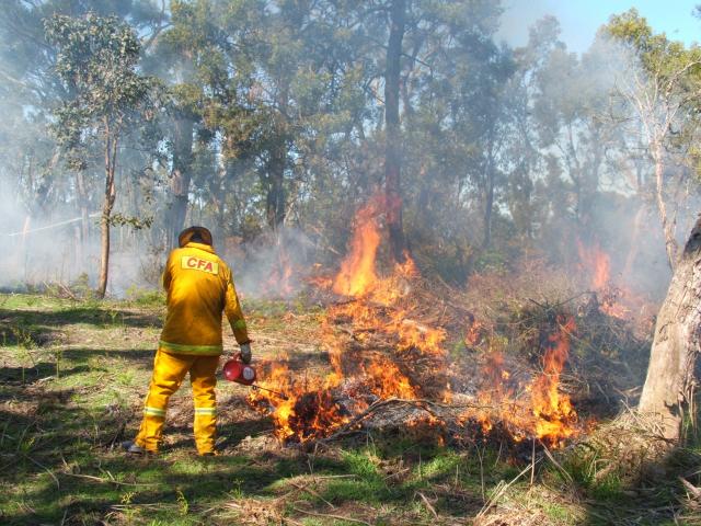
“We’ve taken every opportunity in the lead-up to reduce bushfire risk to communities. Since July 1, we’ve carried out 76 key bushfire risk reduction burns in areas including Three Bridges, Gembrook and Toolangi,”
“This builds on our work with the CFA as part of our Joint Fuel Management Plan to undertake planned burning and other non-burn treatments like slashing, mulching and maintenance of our strategic fuel break network to keep communities safe and build buffer zones around key community assets.”
In the Yarra Ranges alone in 2022-23, FFMVic conducted 6 planned burns which reduced bushfire risk on 1258 hectares of public land as well as undertaking other important risk mitigation work such as strengthening the fuel break network near Healesville and Badger Creek in the Yarra Ranges National Park.
Non-burning fuel load treatments such as mulching, slashing and mowing are also not yet factored in risk modelling so it remains to be seen how much of an impact those efforts on 1,756 hectares in 2022-23 (compared to only 1,531 hectares treated by planning burning) would have on the residual fire risk in the region.
According to the report, mechanical fuel treatments are planned to be taken into account in enhanced future risk modelling.
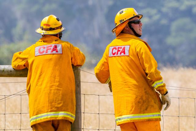
As well as continued mechanical fuel treatments, other immediate actions to reduce risk in the region in the short term include beginning the ‘readiness roster’ earlier in the fire season and ‘considerable pre-season engagement with partner fire agencies’ such as CFA at both the district and brigade levels.
The high-risk percentage in the region is also being considered in the Joint Fuel Management Plan (JFMP) 2023 Strategic Guidance Document, with actions including prioritising areas for fuel management treatments in the greatest risk-reducing areas, reviewing existing fuel management nominations to account for the changes in fuel hazards following three years of La-Niña conditions, nominating fuel management treatments which complement what is delivered in neighbouring regions and planning and preparing additional burns for when conditions are favourable.


