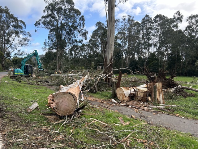
The reprieve from windy conditions across the Yarra Ranges over the last two days was welcomed but the Bureau of Meteorology estimates further damaging winds are on the way.
Senior meteorologist Miriam Bradbury said a “fresh burst of damaging winds” are expected to sweep across the south eastern part of the country throughout Wednesday evening.
“It’s unlikely to be as intense or widespread as what we saw last weekend,” she said.
“The winds are going to be associated with two cold fronts moving across the south east. The first crossed south western Western Australia yesterday, and is likely to approach the southeastern states tonight with winds really increasing from this evening and then through the early hours of tomorrow morning.”
For the central and eastern ranges, the central district and elevated parts of Victoria, winds averaging 55 to 65 kilometres per hour with peak gusts of 90 to 100 kilometres per hour are likely from late on Wednesday night.
“Those winds will ease through the day tomorrow before the next frontal system brings another burst of stronger winds from tomorrow evening going into Friday morning,” Ms Bradbury said.
“The front itself will move through quickly on Friday and then off into the Tasman Sea by the early part of the weekend, leaving us with much more settled weather across southern parts of Australia.”
While damaging wind warning areas are yet to be confirmed for Friday, Ms Bradbury said in Victoria it will hit the central district and much of the Gippsland region.
“So it is essential to keep an eye on the Bureau’s warnings page over the next couple of days to see how these warnings will be changed and updated as that second system approaches.”
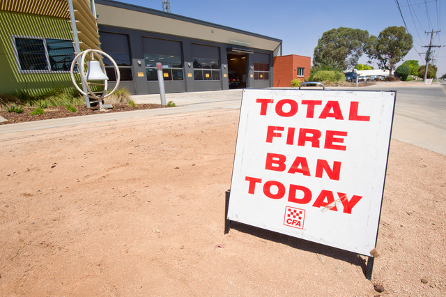
Warm weather is also expected for Friday, raising the fire danger warnings for parts of the country, particularly New South Wales and Tasmania.
Ms Bradbury said the likelihood of “low to locally moderate rainfall totals across the mainland of Australia” is high, as the frontal system moves throughout the south eastern parts.
Residents in these parts are advised to stay up to date via the Bureau of Meteorology’s website or social media.