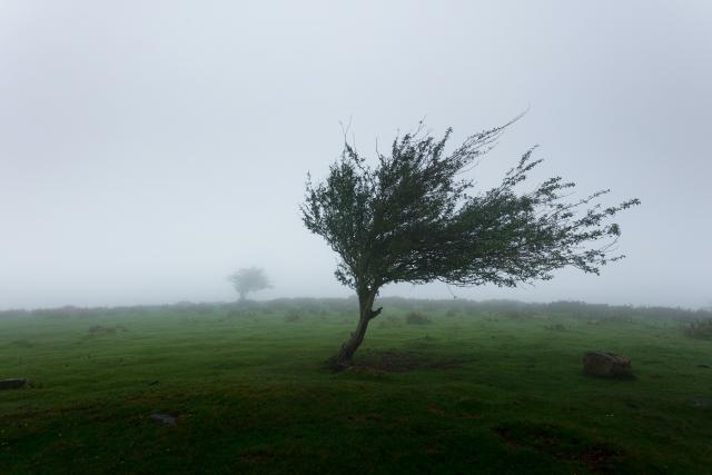
Windy conditions are developing over the Yarra Ranges, with expectations for “trees to be ripped out of the ground” and an urging of early preparation coming from emergency services.
Bureau of Meteorology senior meteorologist Kevin Parkyn said the high winds are set to hit the south west coast close to midnight before moving across to the central and eastern districts between 3am and 6am on Wednesday.
“The winds are going to continue to increase overnight, so expect those north and northwesterly winds not to die off too much overnight,” he said.
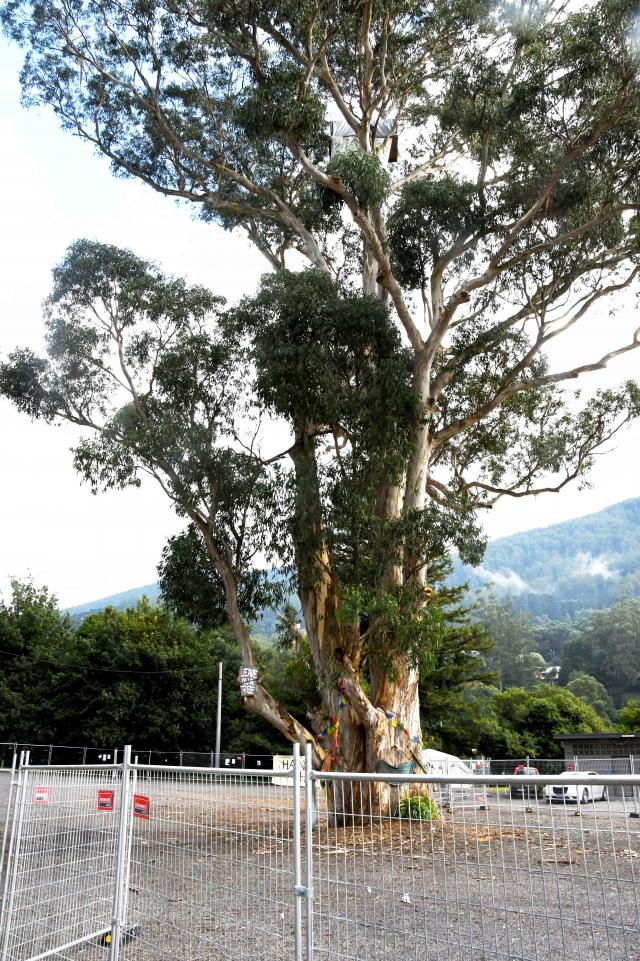
“The winds are strong enough to create damage to vegetation, so that’s branches broken off trees, weakened trees certainly being ripped out of the ground which is what we are expecting in areas that are a bit more susceptible to stronger winds.
“So we might see some of these strong winds of 100 to 110 kilometres an hour for more elevated parts, so that’s around the Yarra ranges, the Dandenongs, right through the Eastern Ranges, as much as 130 kilometres an hour in the Alpine peaks.”
Mr Parkyn said this is a significant wind event and residents in these prone areas should be mindful that damage may be visible after 6am on Wednesday.
“Behind that change, though, the winds will shift westerly and there’ll be a burst of showers, maybe even some storm activity near the coast that will drag some of those stronger winds down to the surface,” he said.
“So just be cognizant of when that change moves across the landscape… between three and 6am through Melbourne.”
In the lead up, Mr Parkyn said winds are expected to increase, with 90 kilometre winds already being seen on the coast.
“What can we expect ahead of that, we’re already seeing northerly winds pick up. We’re seeing wind gusts as much as 93 kilometres an hour at Aireys Inlet, 91 at Kilmore Gap, 85 down at Phillip Island, and broad gusts of around that 80 kilometre mark through Melbourne,” he said.
There will be some reprieve on Wednesday but it will pick up again later in the day with “gusty westerly winds and rapid moving showers” across the south west and central parts of the state predicted.
The Bureau also expects to see winds increasing late Thursday and into Friday but more information will be given closer to the time.
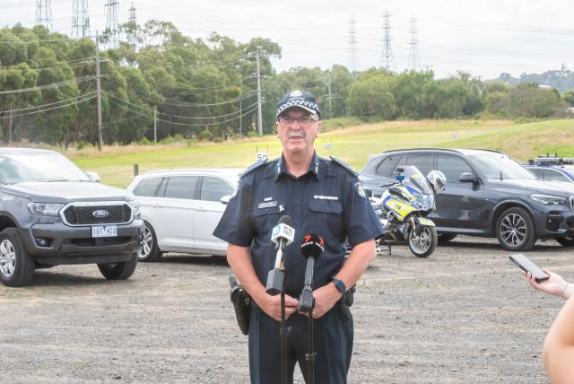
Victoria State Emergency Service chief operations officer Tim Wiebusch advised people to prepare by planning to stay off roads, tying down loose objects and avoiding trees where possible.
“Victorians need to actively prepare now for what might be the strongest weather system we’ve seen this winter crossing our state,” he said.
“We’re asking all Victorians to ensure that you’re driving to the conditions, be alert on our roads to the risk of fallen trees and debris that may be there over the next 36 hours.
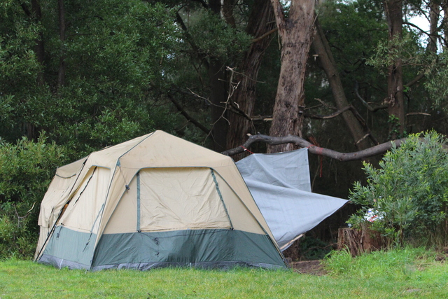
“If you can avoid driving through heavily treed areas over the next 36 hours as well, and certainly if you can park away from trees, that’s our advice over this next period of time. If you’re at home, securing loose objects around your home is something you should be doing now, whether it’s the outdoor setting or the kids trampoline.
“Now’s the time to be securing any of those loose objects so they don’t become missiles.”
AusNet has also taken precautions, with extra resources and field crews on standby.
“We have temporarily stationed generators in Emerald, Cockatoo and Mirboo so they are ready to be connected to provide backup power if the storm impacts the network,” a spokesperson said.
“They may be relocated to areas of most need as the storm impacts become clearer.”
Mr Parkyn said the cold front moving across Victoria is the most significant one seen this winter and the windy conditions are on the state’s doorstep.
“A cold front of this nature probably occurs once every year, so it’s not something that’s rare. Some years we might get a couple, some years we might not see a cold front. We’re just monitoring it at the moment and it’s crossing the Southern Ocean,
“It’s very much driven by the abnormally high temperatures we’ve seen across the continental interior in contrast to the cold temperatures over the Southern Ocean. That strong temperature contrast, driven by abnormally high temperatures, has driven August, from an Australia, Victoria, Melbourne context, to its record maximum temperatures since records began.
“So it’s quite phenomenal, and that’s partially behind why this weather system is evolving.”
If requiring assistance from the SES call 132 500 or in an emergency call 000 for police, fire or ambulance assistance.